
Order Total (1 Item Items):
Shipping Destination:

Anthea Lang (88 results)
Skip to main search results
Product Type
- All Product Types
- Books (61)
- Magazines & Periodicals
- Comics
- Sheet Music
- Art, Prints & Posters
- Photographs
- Maps (27)
-
Manuscripts &
Paper Collectibles
Condition
Binding
Collectible Attributes
- First Edition
- Signed
- Dust Jacket (1)
- Seller-Supplied Images (4)
- Not Printed On Demand
Free Shipping
Seller Location
Seller Rating
-
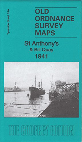
St Anthony's & Bill Quay 1941: Tyneside Sheet 19ab (Old Ordnance Survey Maps of Tyneside)
Published by Alan Godfrey Maps
ISBN 10: 184784975XISBN 13: 9781847849755
Book
Paperback. Condition: Very Good. The book has been read, but is in excellent condition. Pages are intact and not marred by notes or highlighting. The spine remains undamaged.
More buying choices from other sellers on AbeBooks
New offers from US$ 3.83
Used offers from US$ 3.62
Also find Softcover
-
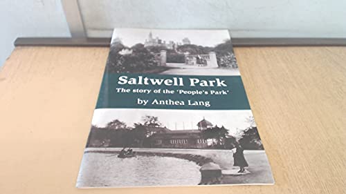
Saltwell Park - The Story of the People's Park
Published by Summerhill Books, 2016
ISBN 10: 1906721653ISBN 13: 9781906721657
Book
Paperback. Condition: Very Good. The book has been read, but is in excellent condition. Pages are intact and not marred by notes or highlighting. The spine remains undamaged.
More buying choices from other sellers on AbeBooks
Used offers from US$ 3.62
-
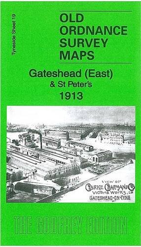
Gateshead East & St Peters 1913: Tyneside Sheet 19a (Old Ordnance Survey Maps of Tyneside)
Published by Alan Godfrey Maps
ISBN 10: 1847847722ISBN 13: 9781847847720
Book
Paperback. Condition: Very Good. The book has been read, but is in excellent condition. Pages are intact and not marred by notes or highlighting. The spine remains undamaged.
More buying choices from other sellers on AbeBooks
New offers from US$ 3.56
Used offers from US$ 3.62
Also find Softcover
-
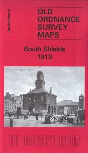
South Shields 1913: Tyneside Sheet 9b (Old Ordnance Survey Maps of Tyneside)
Published by Alan Godfrey Maps, 2015
ISBN 10: 1847849091ISBN 13: 9781847849090
Book
Condition: Good. Most items will be dispatched the same or the next working day.
-

Roker Seafront 1914: Durham Sheet 8.07 (Old Ordnance Survey Maps of County Durham)
Published by Alan Godfrey Maps, United Kingdom, Co Durham
ISBN 10: 1787211584ISBN 13: 9781787211582
Book
Paperback. Condition: Fine.
-
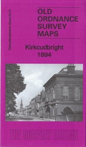
Kirkcudbright 1894: Kirkcudbrightshire 55.01 (Old Ordnance Survey Maps of Kirkcudbrightshire)
Published by Alan Godfrey Maps, United Kingdom, Co Durham
ISBN 10: 1787210936ISBN 13: 9781787210936
Book
Paperback. Condition: Fine.
-
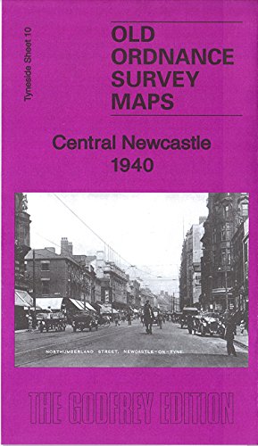
Central Newcastle 1940
Published by Alan Godfrey Maps 2016-08-15, 2016
ISBN 10: 1847849954ISBN 13: 9781847849953
Book
hardback. Condition: New. Language: ENG.
More buying choices from other sellers on AbeBooks
New offers from US$ 6.98
-
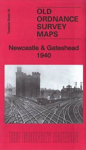
Newcastle & Gateshead 1940
Published by Alan Godfrey Maps 2015-05-08, 2015
ISBN 10: 1847848958ISBN 13: 9781847848956
Book
hardback. Condition: New. Language: ENG.
More buying choices from other sellers on AbeBooks
New offers from US$ 6.98
-
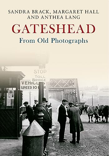
Gateshead From Old Photographs
Published by Amberley Publishing, 2015
ISBN 10: 1445646803ISBN 13: 9781445646800
Book
Paperback. Condition: Very Good. The book has been read, but is in excellent condition. Pages are intact and not marred by notes or highlighting. The spine remains undamaged.
More buying choices from other sellers on AbeBooks
New offers from US$ 20.73
Used offers from US$ 7.16
Also find Softcover
-
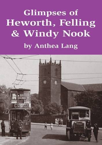
Glimpses of Heworth, Felling & Windy Nook
Published by Summerhill Books, 2016
ISBN 10: 1911385070ISBN 13: 9781911385073
Book
Paperback. Condition: Very Good. The book has been read, but is in excellent condition. Pages are intact and not marred by notes or highlighting. The spine remains undamaged.
More buying choices from other sellers on AbeBooks
Used offers from US$ 10.81
-
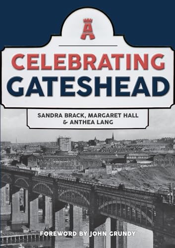
Celebrating Gateshead
Published by Amberley Publishing 15 A, 2020
ISBN 10: 1445697343ISBN 13: 9781445697345
Book
Paperback. Condition: Very Good. Celebrating Gateshead This book is in very good condition and will be shipped within 24 hours of ordering. The cover may have some limited signs of wear but the pages are clean, intact and the spine remains undamaged. This book has clearly been well maintained and looked after thus far. Money back guarantee if you are not satisfied. See all our books here, order more than 1 book and get discounted shipping. .
More buying choices from other sellers on AbeBooks
New offers from US$ 20.73
Used offers from US$ 14.09
Also find Softcover
-

Uncollected Anthology: Year 2
Published by CreateSpace Independent Publishing Platform, 2017
ISBN 10: 1981645233ISBN 13: 9781981645237
Book
Condition: New.
-

A-Z of Gateshead: Places-People-History
Published by Amberley Publishing, 2019
ISBN 10: 1445691191ISBN 13: 9781445691190
Book
Paperback. Condition: Very Good. The book has been read, but is in excellent condition. Pages are intact and not marred by notes or highlighting. The spine remains undamaged.
More buying choices from other sellers on AbeBooks
New offers from US$ 19.09
Used offers from US$ 23.67
Also find Softcover
-
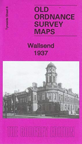
Wallsend 1937: Tyneside Sheet 6c (Old Ordnance Survey Maps of Tyneside)
Published by Alan Godfrey Maps, 2019
ISBN 10: 1787212955ISBN 13: 9781787212954
Map
No Binding. Condition: New. No Jacket. Here are the details of maps for Wallsend: Tyneside Sheet 6a Wallsend 1895 - published 1988; intro by Iain Watson. ISBN.978-0-85054-173-1 Tyneside Sheet 6b Wallsend 1937 - published 2019; intro by Anthea Lang. ISBN.978-1-78721-295-4 We have published two versions of this map, showing how the area changed across the years. The maps cover the area from Hall Farm and Wallsend Park down to Carville Station and Buddle Street. Coverage extends westward to include Bigges Main and St Andrew's Church. Features (from 1937 version) include town centre with individual buildings neatly shown, NER Tynemouth Branch with Wallsend station, Riverside Branch with Carville station, Killingworth Wagonway, Bigges Main, Walkerville, Wallsend Park, The Hall, The Green, Borough Theatre, Municipal Buildings, St Luke's church, St John's church, Segedunum Roman Fort site, chapels, pubs, etc. Each map includes extracts from a contemporary directory together with a specially written introduction to the history of the area. This map links up with Tyneside Sheet 5 High Heaton to the West, Tyneside Sheet 13 Walker to the South, Tyneside Sheet 7 Willington Quay to the East.
-
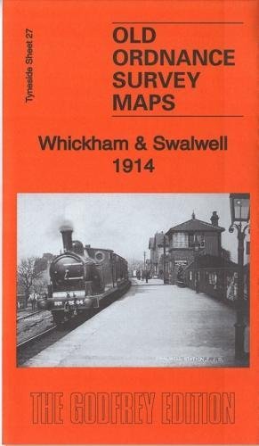
Whickham & Swalwell 1914: Tyneside Sheet 27b (Old Ordnance Survey Maps of Tyneside)
Published by Alan Godfrey Maps, 2017
ISBN 10: 1787210960ISBN 13: 9781787210967
Map
No Binding. Condition: New. No Jacket. Here are the details of maps for Whickham & Swalwell: Tyneside 27a Whickham & Swalwell 1895 - published 1982, 2nd edition 1996; intro by Robert Forsythe. ISBN.978-0-85054-838-9 Tyneside 27b Whickham & Swalwell 1914 - published 2017; intro by Anthea Lang. ISBN.978-1-78721-096-7 Tyneside 27c Whickham & Swalwell 1940 - published 2018; intro by Alan Godfrey. ISBN.978-1-78721-107-0 We have published three versions of this map, showing how the area changed across the years. The maps cover both Whickham and Swalwell, and extend further west to include Axwell Park and Damhead Wood. Features on the map include Whickham Hall, St Mary's Church, Whickham House, Whickhambanks Colliery, Northumberland Paper Mills, Keelmans Bridge, Swalwell Colliery, Swalwell Steel Works, Derwent Bridge and River Derwent, Bates Houses, Home Farm, Swalwell station and NER railway, Garesfield & Chopwell Railway, etc. The map links up with Tyneside Sheets 26 Scotswood & Derwenthaugh to the north, and 22 Dunston to the east. Further information: Whickham is a large urban village with a fine medieval church, parts of which date back to the 12th century; the composer William Shield was baptised here and there is a memorial to him in the graveyard. This is now at the heart of a conservation area but Whickham parish also included Swalwell, which developed as a major industrial centre in the early 18th centre, around Crowley's ironworks. There were also two collieries and in the 20th century the Derwenthaugh Cokeworks was opened further south. Across the River Derwent we are in Blaydon, where Axwell House was built for Sir Thomas Clavering by James Paine. Our three maps show how the area changed across the years, especially with industrial developments in Swalwell and along the Derwent valley.
-
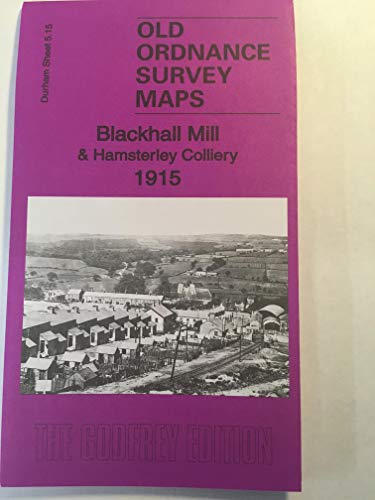
Blackhall Mill & Hamsterley Colliery 1915: Durham Sheet 5.15 (Old Ordnance Survey Maps of County Durham)
Published by Alan Godfrey Maps, 2018
ISBN 10: 178721205XISBN 13: 9781787212053
Map
No Binding. Condition: New. No Jacket. Here are the details of maps for Blackhall Mill: Co Durham Sheet 5.15 Blackhall Mill & Hamsterley Colliery 1915 - published 2018; intro by Anthea Lang. ISBN.978-1-78721-205-3 This very detailed map covers Blackhall Mill and Hamsterley Village. Features include Hamsterley village, Hamsterly Colliery with section of NER Consett Branch, High Westwood station (partly shown), Blackhall Mill, Derwent Cote House, Pickle Bank Wood, Derwent Cote Forge, steel furnace (disused), Armonside, Carr House, part of Chopwell Woods, Hagg House etc. The map links up with Sheet 5.11 Chopwell to the north.
-
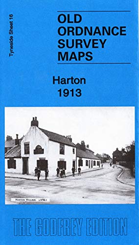
Harton 1913: Tyneside Sheet 16b (Old Ordnance Survey Maps of Tyneside)
Published by Alan Godfrey Maps, 2019
ISBN 10: 1787212521ISBN 13: 9781787212527
Map
No Binding. Condition: New. No Jacket. Here are the details of maps for Harton: Tyneside 16a Harton 1895 - published 1989; intro by Robert Bell. ISBN.978-0-85054-304-9 Tyneside 16b Harton 1913 - published 2019; intro by Anthea Lang. ISBN.978-1-78721-252-7 We have published two versions of this map, showing how the area changed across the years. The maps stretch westward to include Tyne Dock Ward, Northwards to St Marks vicarage and south to South Shields Union Workhouse. Features on the map include St Peters Church, Harton Hall, St Mary's Church, NER Railway line and Station, Football Ground, Deans Hospital, Harton Cemetery and West End Park. Main streets on the map include Hudson Street, Sunderland Road, Bertram Street and Westoe Parade. This map links up with Tyneside Sheet 15 East Jarrow to the West and Tyneside Sheet 9 South Shields to the North.
-
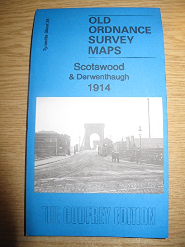
Scotswood & Derwenthaugh 1914: Tyneside Sheet 26b (Old Ordnance Survey Maps of Tyneside)
Published by Alan Godfrey Maps, 2018
ISBN 10: 1787211304ISBN 13: 9781787211308
Map
No Binding. Condition: New. No Jacket. Here are the details of maps for Scotswood & Derwenthaugh: Tyneside 26a Scotswood & Derwenthaugh 1895 - published 1996, 3rd edition 2009; intro by Roy Young. ISBN.978-0-85054-816-7 Tyneside 26b Scotswood & Derwenthaugh 1914 - published 2018; intro by Anthea Lang. ISBN.978-1-78721-130-8 Tyneside 26c Scotswood & Derwenthaugh 1937 - published 2019; intro by Alan Godfrey. ISBN.978-1-78721-230-5 We have published three versions of this map, showing how the area changed across the years. Each covers Scotswood, Delaval, Blaydon Haughs, and Derwent Haugh. Coverage stretches from Blaydon Haughs eastward to Delaval and Derwenthaugh. Features include River Derwent, Blaydon Main Staith, section of Garesfield & Chopwell Railway, section of NER Low Swalwell Branch, NER Redheugh Branch, NER Consett Branch, NER Newcastle & Carlisle line, Blaydon Main Wagonway with Blaydon Main Colliery, Blaydon Haughs with riverside works, Scotswood Bridge, Scotswood House, Delaval Benwell Colliery, Delaval Farm, several fire brick works, etc. The map links up with Tyneside Sheet 29 Old Benwell to the north, 28 Blaydon to the west, 17 Elswick to the east.
-
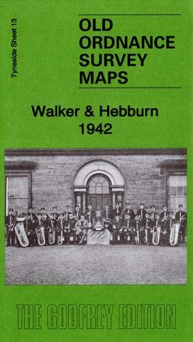
Walker & Hebburn 1942: Tyneside Sheet 13c (Old Ordnance Survey Maps of Tyneside)
Published by Alan Godfrey Maps, 2019
ISBN 10: 1787212769ISBN 13: 9781787212763
Map
No Binding. Condition: New. No Jacket. Here are the details of maps for Walker & Hebburn: Tyneside 13a Walker & Hebburn 1895 - published 1983, 2nd Edition 2003; intro by John Griffiths. ISBN.978-0-907554-30-1 Tyneside 13b Walker & Hebburn 1913 - published 1985, 2nd Edition 2014; intro by Mike Greatbatch. ISBN.978-1-84784-763-8 Tyneside 13c Walker & Hebburn 1942 - published 2019; intro by Anthea Lang. ISBN.978-1-78721-276-3 We have published three maps for this area to show how the area has changed over the years. The maps cover a busy area, with sections of both Walker and Hebburn either side of the River Tyne. Features on the Walker side include Neptune Shipbuilding Yard, Wallsend Shipbuilding Yard, Walker Shipyard, Neptune Engine Works and Boiler Works, Glue & Chemical Works, Low Walker Landing, NER Riverside Branch with many sidings to works, part of Wincomblee, Low Walker area, part of Walkergate area, St Anthony's RC church, Christ Church, dry docks, Mitchell's Buildings, ferry crossings, etc. Features on the Hebburn side include Hebburn Shipbuilding Yard, Bauxite Works, Reyrolle Hebburn Works, part of Hebburn Colliery, Presbyterian church, RC church, etc. Each map includes a specially written introduction to the area, together with extracts from early directories. The maps link up with Tyneside Sheets 6 Wallsend to the North, 12 Byker to the West, 14 Wallsend to the East and 19a St Anthonys to the South.
-
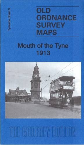
Mouth of the Tyne 1913: Tyneside Sheet 3b (Old Ordnance Survey Maps of Tyneside)
Published by Alan Godfrey Maps, 2016
ISBN 10: 1787210243ISBN 13: 9781787210240
Map
No Binding. Condition: New. No Jacket. Here are the details of maps for Mouth of the Tyne: Tyneside Sheet 3a Mouth of the Tyne 1895 - published 1984; intro by Eric Hollerton. ISBN.978-0-85054-340-7 Tyneside Sheet 3b Mouth of the Tyne 1913 - published 2016; intro by Anthea Lang. ISBN.978-1-78721-024-0 We have published two versions of this map, showing how the area changed across the years. It covers important areas of North Shields, South Shields, and Tynemlouth. Coverage starts at Collingwood's Monument in the north and continues to Marine Park in the south. Westward, the coverage extends to Camden Street and Upper Norfolk Street. Features on the maps include (on the S side of the river), St Stephen's church, Roman Park, North Marine Park, Commissioners Staiths, Groyne Lighthouse, much of South Pier, Olympia Skating Rink, St Aidan's church, coastguard station, tramway terminus,railways onto pier etc. And (on the N side of the river), Collingwood's Monument, High and Low Lighthouses, ferry landing stage, Marlet Place, Dockwray Square, stretches of tramway and railway, Clifford's Fort, Low Lights area, etc. We include various directory extracts on the reverse. This map links up with Tyneside Sheet 1 Tynemouth to the North, Tyneside Sheet 2 North Shields & Chirton to the West, Tyneside Sheet 9 South Shields to the South.
-
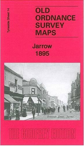
Jarrow 1895: Tyneside Sheet 14a
Published by Alan Godfrey Maps, 2013
ISBN 10: 1847847269ISBN 13: 9781847847263
Map
No Binding. Condition: New. No Jacket. Here are the details of maps for Jarrow: Tyneside Sheet 14a Jarrow 1895 - published 1982, 2nd Edition 2013; Intro by Anthea Lang. ISBN.978-1-84784-726-3 Tyneside Sheet 14b Jarrow 1912 - published 1989; intro by Andrew Maslivec. ISBN.978-0-85054-273-8 We have published two versions of this map, showing how the area changed across the years. Coverage extends from St Cuthbert's church Hebburn eastward to Commercial Road Jarrow, and from Palmers Shipbuilding Works southward to Jarrow Park. Features include most of Palmers Shipbuilding Works, railways including Jarrow and Hebburn stations, Pontop & Jarrow Railway, Hebburn Colliery, Bede Metal Works, St Cuthbert's church Hebburn, Quality Row, Tyne Lead Works, Ordnance Works, Jarrow town centre with individual buildings neatly shown, Christ Church, Jarrow Park, cricket ground, Grange Metal Works, Palace Theatre, railway sidings, etc. This map links up with Tyneside Sheet 13 Walker to the West, Sheet 7 Willington Quay to the North, Sheet 15 East Jarrow to the East and 20 Monkton to the south.
-
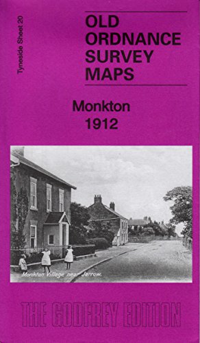
Monkton 1912: Tyneside Sheet 20
Published by Alan Godfrey Maps, 2013
ISBN 10: 1847847188ISBN 13: 9781847847188
Map
No Binding. Condition: New. No Jacket. Here are the details of maps for Monkton: Tyneside Sheet 20 Monkton 1912 - published 2013; intro by Anthea Lang. ISBN.978-1-84784-718-8 This detailed map covers the village together with small portions of Hebburn and Jarrow. Features include Monkton village, Primrose Hill Hospital, Springwell Paper Mills, Pontop & Jarrow Railway, Burn Heads, Hebburn cemetery, St John's church, Hebburn Infirmary. We include a 1906 directory of Monkton and Hebburn New Town on the reverse. This map links up with Tyneside Sheet 14 Jarrow to the north, Sheet 19a St Anthony's to the west.
-
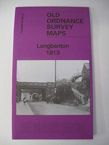
Longbenton 1913: Tyneside Sheet 31 (Old Ordnance Survey Maps of Tyneside)
Published by Alan Godfrey Maps, 2020
ISBN 10: 1787213196ISBN 13: 9781787213197
Map
No Binding. Condition: New. No Jacket. Here are the details of maps for Longbenton: Tyneside 31 Longbenton 1913 - published 2020; intro by Anthea Lang. ISBN.978-1-78721-319-7 This detailed map covers most of Longbenton, with coverage stretching from Gosforth Row eastward to Benton station. Features include Billy Pit, Little Benton, Benton station and NER line, Benton House, Manor House, Benton Frm, Benton Lodge, Benton Place, Benton Quarry Junction. On the reverse we include a section of the adjacent sheet, extending coverage eastwrad to include the NER main line, East Benton and the disused Bigges Main Colliery. Lonbgbenton was an independent urban district until 1974, when it was absorbed into the new North Tyneside Metropolitan Borough. The map links up with Tyneside Sheets 30 Gosforth to the west and 5 High Heaton to the south.
-
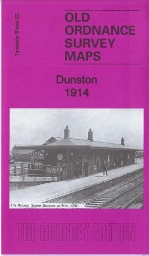
Dunston 1914: Tyneside Sheet 22b (Old Ordnance Survey Maps of Tyneside)
Published by Alan Godfrey Maps, 2017
ISBN 10: 1787210804ISBN 13: 9781787210806
Map
No Binding. Condition: New. No Jacket. Here are the details of maps for Dunston: Tyneside 22a Dunston 1894 - published 1981, revised 1982, 2nd editon 1992; intro by Andrew Maslivec. ISBN.978-0-85054-243-1 Tyneside 22b Dunston 1914 - published 2017; intro by Anthea Lang. ISBN.978-1-78721-080-6 We have published two versions of this map, showing how the area changed across the years. The map shows the village of Dunston on the east side of the map, and extends westward to part of Whickham, showing Whickham Lodge and Dockendale Hall. Other features include Dunston Hill, Dunston West Farm, NER Derwenthaugh Branch and Dunston station, section of Tanfield Branch, Team Colliery Wagonway, NER Dunston Extension with sidings approaching staiths, St Philip's RC church, Christ Church, Anchor Inn, Norwood Colliery, Dunston Forge, etc. The map includes Spoor Street, where this series of maps began. The map links up with Tyneside Sheet 17 Elswick to the north, Tyneside Sheet 23 Gateshead South to the east, Durham Sheet 06.07 Lobley Hill to the south and Tyneside Sheet 27 Whickham & Swalwell to the west.
-
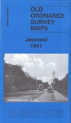
Jesmond 1941: Tyneside 4c (Old Ordnance Survey Maps of Tyneside)
Published by Alan Godfrey Maps, 2018
ISBN 10: 1787211495ISBN 13: 9781787211490
Map
No Binding. Condition: New. No Jacket. Here are the details of maps for Jesmond: Tyneside 4a Jesmond 1895 - published 1982, 2nd Edition 1987; intro by Jimmy Donald. ISBN.978-0-85054-162-5 Tyneside 4b Jesmond 1913 - published 1985, 2nd Edition 2014; intro by Alan Godfrey. ISBN.978-1-84784-857-4 Tyneside 4c Jesmond 1941 - published 2018; intro by Anthea Lang. ISBN.978-1-84784-149-0 We have published three versions of this map, showing how the area changed across the years. Coverage stretches from Burdon Terrace northward to Lodore Road. Features include West Jesmond area with West Jesmond station (1914 map), Fleming Memorial Hospital, Northern Counties Orphanage, Northern Counties Deaf & Dumb Institution, St Andrew's cemetery, St Hilda's church, tramways, St George's church, Jesmond Towers, Jesmond Dene House, Jesmond Dean, Town Moor, smallpox hospital, Kenton Lodge, Dukes Moor, etc. The map links up with Tyneside Sheet 30 Gosforth to the north, Tyneside Sheet 5 High Heaton to the east, Tyneside Sheet 11 Central Newcastle to the south.
-
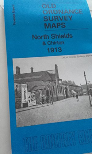
North Shields & Chirton 1913: Tyneside Sheet 2b (Old Ordnance Survey Maps of Tyneside)
Published by Alan Godfrey Maps, 2017
ISBN 10: 1787210677ISBN 13: 9781787210677
Map
No Binding. Condition: New. No Jacket. Here are the details of maps for North Shields & Chirton: Tyneside 2a North Shields & Chirton 1894 - published 1988, minor revision 2014; intro by Eric Hollerton. ISBN.978-1-84784-830-7 Tyneside 2b North Shields & Chirton 1913 - published 2017; intro by Anthea Lang. ISBN.978-1-78721-067-7 Tyneside 2c North Shields & Chirton 1937 - published 2017; intro by Alan Godfrey. ISBN.978-1-78721-182-7 We have published three versions of this map, showing how the area changed across the years. The maps cover the North Shields town centre area, extending westward to include Chirton. Features include NER railway with North Shields station, Theatre Royal, Christ Church, Collingwood Foundry, part of Bull Ring Docks, gasworks, West End Park, Hylton Lodge, Tynemouth Union Workhouse, Victoria Jubilee Infirmary, North Shields & Tynemouth General Cemetery, Preston Colliery with wagonway, Chirton green, Holy Trinity church, High Chirton, short stretches of Backworth Colliery Railway and Seatonburn Wagonway, West Chirton Hall, Meadow Well, etc. The 1938 version includes substantial houing development to the west of the town centre, including Balkwell and much of the Meadow Well (or Meadowell) estate.
-
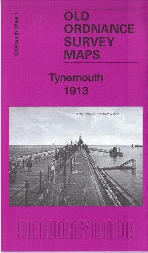
Tynemouth 1913 (Old Ordnance Survey Maps of Tyneside)
Published by Alan Godfrey Maps, 2017
ISBN 10: 1787210456ISBN 13: 9781787210455
Map
No Binding. Condition: New. No Jacket. Here are the details of maps for Tynemouth: Tyneside Sheet 1 Tynemouth 1913 - published 1998, 2nd Edition 2017; intro by Anthea Lang. ISBN.978-1-78721-045-5 This detailed map covers the northern section of Tynemouth with coverage stretching from Donkin Terrace & Oxford Street northward to Long Sands & Bears Head Rock. Features include Prior's Park, Northumberland Park, Church of the Holy Saviour, Tynemouth Castle, North Pier, Sharpness Point and the Railway Line & Station. Main Streets on the map include part of Tynemouth Road, Percy Park Road, Grand Parade and Front Street. This map links up with Tyneside Sheet 2 North Shields to the South-West, Tyneside Sheet 3 Mouth of the Tyne to the South and Northumberland Sheet 89.04 Cullercoats & Whitley to the North.
-
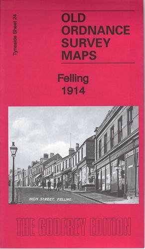
Felling 1914: Tyneside Sheet 24B (Old Ordnance Survey Maps of Tyneside)
Published by Alan Godfrey Maps, 2015
ISBN 10: 1847848753ISBN 13: 9781847848758
Map
No Binding. Condition: New. No Jacket. Here are the details of maps for Felling: Tyneside Sheet 24a Felling 1894 - published 1982, 2nd edition 1989; intro by Shaun Addison. ISBN.978-0-85054-268-4 Tyneside Sheet 24b Felling 1914 - published 2015; intro by Anthea Lang. ISBN.978-1-84784-875-8 We have published two versions of this map, showing how the area changed across the years. Features include Felling town centre, with individual buildings neatly shown; railway with Felling station, Felling Colliery John Pit, Low Felling, High Felling, Northern Machine Tool Works with railway connection, Crowhall Quarry, Felling Shore Brickworks, tramways, Christ Church, St Patrick's RC church, disused Felling and Carr Hill quarries, Carr Hill area, Deckham Place, Jubilee Children's Hospital, Mount Pleasant, cemetery, Victoria Square etc. The 1894 map includes a section of the 1850s edition on the reverse. The map links up with Tyneside Sheet 23 Gateshead South to the west, Tyneside Sheet 19 Gateshead East to the north, Durham Sheet 07.05 Gateshead Fell to the south and Durham Sheet 07.02 Heworth to the east.
-
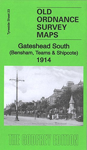
Gateshead South (Bensham, Teams & Shipcote) 1914: Tyneside Sheet 23b
Published by Alan Godfrey Maps, 2015
ISBN 10: 1847848656ISBN 13: 9781847848659
Map
No Binding. Condition: New. No Jacket. Here are the details of maps for Gateshead South: Tyneside Sheet 23a Gateshead South 1894 - published 1981, 3rd Edition 2014; intro by Alan Godfrey. ISBN.978-1-84784-851-2 Tyneside Sheet 23b Gateshead South 1914 - published 2015; intro by Anthea Lang ISBN.978-1-84784-865-9 This detailed map covers the Bensham, Teams and Shipcote areas of Gateshead. Features on the map include Saltwell Park, Gateshead Union Workhouse, Bensham Brick Works, St Paul's Church, Bensham Hall, Christ Church, NER railway Line and Bensham Station, High Team Bridge, Nanny Rawley's Wood and Bensham Tower. We include extracts from early directories on the reverse. The map links up with Tyneside Sheet 22 Dunston to the west, Sheet 18 Newcastle & Gateshead to the north, Sheet 24 Felling to the east, and Durham Sheet 06.08 Low Fell to the south.
-
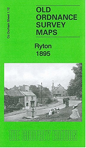
Ryton 1895: County Durham Sheet 1.12
Published by Alan Godfrey Maps, 2013
ISBN 10: 1847847102ISBN 13: 9781847847102
Map
No Binding. Condition: New. No Jacket. Here are the details of maps for Ryton: Co Durham Sheet 1.12 Ryton 1895 - published 1993, 2nd Edition 2013; intro by Anthea Lang. ISBN.978-1-84784-710-2 This detailed map covers the village of Ryton, now part of Gateshead MBC. Features include village centre with individual buildings neatly shown, South Grange, Holy Cross church, Elvaston Hall, Run Head (at foot of map), Ryton Grange, River Tyne, Ryton Willows, Newcastle & Carlisle railway with Ryton station, Scotswood, Newburn & Wylam railway with Heddon on the Wall station, Heddon Haughs (at top of map), Ryton Island. We include an 1894 directory of Ryton on the reverse. The map connects with Durham sheet 1.11 Wylam to the west and Tyneside sheet 25 Newburn to the east.