Gateshead South (Bensham, Teams & Shipcote) 1914: Tyneside Sheet 23b (Old Ordnance Survey Maps of Tyneside)

Buy New
Learn more about this copy
US$ 3.61
Shipping:
US$ 38.81
From United Kingdom to U.S.A.
Top Search Results from the AbeBooks Marketplace
Stock Image
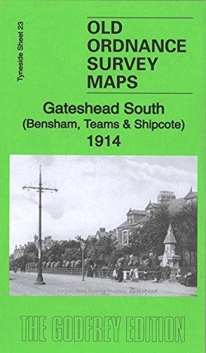
Gateshead South (Bensham, Teams & Shipcote) 1914: Tyneside Sheet 23b
Seller:
Rating
Book Description No Binding. Condition: New. No Jacket. Here are the details of maps for Gateshead South: Tyneside Sheet 23a Gateshead South 1894 - published 1981, 3rd Edition 2014; intro by Alan Godfrey. ISBN.978-1-84784-851-2 Tyneside Sheet 23b Gateshead South 1914 - published 2015; intro by Anthea Lang ISBN.978-1-84784-865-9 This detailed map covers the Bensham, Teams and Shipcote areas of Gateshead. Features on the map include Saltwell Park, Gateshead Union Workhouse, Bensham Brick Works, St Paul's Church, Bensham Hall, Christ Church, NER railway Line and Bensham Station, High Team Bridge, Nanny Rawley's Wood and Bensham Tower. We include extracts from early directories on the reverse. The map links up with Tyneside Sheet 22 Dunston to the west, Sheet 18 Newcastle & Gateshead to the north, Sheet 24 Felling to the east, and Durham Sheet 06.08 Low Fell to the south. Seller Inventory # 000995
Buy New
US$ 3.61
Convert currency