Bristol (Ashton Court) 1913: Gloucestershire Sheet 75.03 (Old O.S. Maps of Gloucestershire)

Buy New
Learn more about this copy
US$ 3.54
Shipping:
US$ 38.13
From United Kingdom to U.S.A.
Top Search Results from the AbeBooks Marketplace
Stock Image
Bristol (Ashton Court) 1913: Gloucestershire Sheet 75.03 (Old O.S. Maps of Gloucestershire)
Seller:
Rating
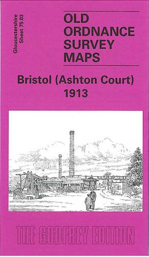
Book Description No Binding. Condition: New. No Jacket. Here are the details of maps for Ashton Court: Gloucestershire Sheet 75.03 Bristol (Ashton Court) 1913 - published 2005; intro by Mike Bone. ISBN.978-1-84151-766-7 This detailed map covers an area to the west of Bristol. Ashton Court is central to the map with Ashton Park extending widely across it. Ashton Vale is in the extreme SE corner, while a small portion of Clifton, including The Paragon and St Vincent's Parade is in the NE corner. Other features include Ashton Vale Works, River Avon with Rownham Ferry, Frayne's Colliery (disused), GWR Portishead line with Ashton Gate Platform and Clifton Bridge station, entrance lock to Cumberland Basin, Rownham House, Bower Ashton. On the reverse we include a directory of Long Ashton plus a timetable for the Portishead Branch. The map links up with sheets 71.15 Clifton Down to the north, 75.04 Bristol SW to the east and 75.07 Long Ashton to the south. Seller Inventory # 001033
Buy New
US$ 3.54
Convert currency