Bristol (St. Anne's Park & Conham) 1913: Gloucestershire Sheet 76.02 (Old O.S. Maps of Gloucestershire)

Buy New
Learn more about this copy
US$ 3.61
Shipping:
US$ 38.79
From United Kingdom to U.S.A.
Top Search Results from the AbeBooks Marketplace
Stock Image
Bristol (St. Anne's Park & Conham) 1913: Gloucestershire Sheet 76.02 (Old O.S. Maps of Gloucestershire)
Seller:
Rating
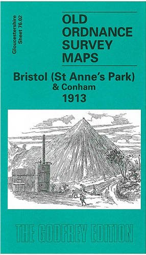
Book Description No Binding. Condition: New. No Jacket. Here are the details of maps for Conham: Gloucestershire Sheet 76.02 Bristol (St Anne's Park) & Conham 1913 - published 2003; intro by Mike Bone. ISBN.978-1-84151-515-1 This detailed map covers an area to the east of Bristol, with coverage stretching from the St Anne's Park area eastward to Conham, Jefferies Hill and the western part of Hanham (junction of Jefferies Hill and Hanham Street is at eastern edge of map). Features include St Anne's Park station, Wick House, River Avon, Conham, Conham Hall, Tar & Rosin Works, quarries, New Brislington Bridge, Hanham Colliery with tramway to river, Jefferies Hill, Christ Church, boot factory, Hanham Street etc. On the reverse we include directories of Brislington and Hanham. The map links up with sheets 72.14 St Georges to the north, 76.01 Bristol SE to the west and 76.06 Brislington to the south. Seller Inventory # 001038
Buy New
US$ 3.61
Convert currency