Rothbury Forest 1866-73 (Old Ordnance Survey Maps - Inch to the Mile)

Buy New
Learn more about this copy
US$ 4.59
Shipping:
US$ 38.68
From United Kingdom to U.S.A.
Top Search Results from the AbeBooks Marketplace
Stock Image
Rothbury Forest 1866-73 (Old Ordnance Survey Maps - Inch to the Mile)
Seller:
Rating
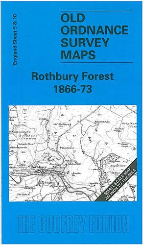
Book Description No Binding. Condition: New. No Jacket. Here is information about Sheet 9 & 10: One Inch Sheet 9/10 Rothbury Forest 1866-73 - published 1999; intro by Robert Forsythe. ISBN.978-1-84151-034-7 This map, which includes sheets 9 and 10 side by side, covers the area of Northumberland from Rothbury eastward to Amble, and southward to Newbiggin. Features include Coquet Valley, Coquet Island, Druridge Bay, the Northumberland Central Railway to Rothbury, the Amble Branch, and the Blyth & Tyne Railway to Newbiggin. On the reverse is a detailed map of Widdrington village. It is not possible to list the many hamlets, farmsteads and other topographical features shown on these maps. However, you may find it useful if we list the towns and principal villages or parishes that are included on this map: Northumberland: Acklington, Amble, Bothal, Brinkburn, Ellington, Felton, Guizance, Longhirst, Longhorsley, Netherwitton, Newbiggin, Rothbury, Rothley stn, Thropton, Tritlington, Ulgham, Widdrington, Woodhorn. Seller Inventory # 007561
Buy New
US$ 4.59
Convert currency