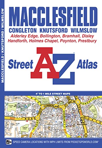
Macclesfield A-Z Street Atlas - Softcover

This A-Z map of Macclesfield features 43 street map pages covering: Congleton, Knutsford, Wilmslow, Bollington, Holmes Chapel, Manchester Airport, Alderley Edge, Handforth, Bramhall, High Lane, Poynton, Woodford, Disley, New Mills (part) and Gawsworth (inset). Postcode districts, one-way streets, safety camera locations with speed limits and National Park boundaries are also featured on the mapping. The index section lists streets, selected flats, walkways and places of interest, place, area, Metrolink and station names, hospitals and hospices covered by this atlas.
"synopsis" may belong to another edition of this title.
- PublisherGeographers’ A-Z Map Co Ltd
- Publication date2016
- ISBN 10 1843488167
- ISBN 13 9781843488163
- BindingPaperback
- Edition number3
- Number of pages64
Buy New
Learn more about this copy
US$ 12.92
Shipping:
US$ 3.99
Within U.S.A.
Top Search Results from the AbeBooks Marketplace
Macclesfield Street Atlas
Published by
Geographers' A-Z Map Company, Limited
(2016)
ISBN 10: 1843488167
ISBN 13: 9781843488163
New
Softcover
Quantity: 1
Seller:
Rating
Book Description Condition: New. 2nd Edition. Seller Inventory # 2697199821
Buy New
US$ 12.92
Convert currency

