
Order Total (1 Item Items):
Shipping Destination:

Norfolk Coast West Sheet by Ordnance Survey (8 results)
Skip to main search results
Product Type
- All Product Types
- Books (7)
- Magazines & Periodicals
- Comics
- Sheet Music
- Art, Prints & Posters
- Photographs
- Maps (1)
-
Manuscripts &
Paper Collectibles
Condition
- All Conditions
- New
- Used
Binding
- All Bindings
- Hardcover
- Softcover (6)
Collectible Attributes
- First Edition
- Signed
- Dust Jacket
- Seller-Supplied Images (2)
- Not Printed On Demand
Seller Location
Seller Rating
-
Paperback. Condition: Very Good. The book has been read, but is in excellent condition. Pages are intact and not marred by notes or highlighting. The spine remains undamaged.
-

Norfolk Coast West - King's Lynn and Hunstanton: Sheet 250 (Explorer Maps)
Published by Ordnance Survey, 2002
ISBN 10: 0319218864ISBN 13: 9780319218860
Book
Paperback. Condition: Good. The book has been read but remains in clean condition. All pages are intact and the cover is intact. Some minor wear to the spine.
-
Norfolk Coast West - King's Lynn and Hunstanton: Sheet 250 (Explorer Maps)
Published by Ordnance Survey, 2002
ISBN 10: 0319218864ISBN 13: 9780319218860
Book
Paperback. Condition: Very Good. The book has been read, but is in excellent condition. Pages are intact and not marred by notes or highlighting. The spine remains undamaged.
-
Norfolk Coast West - King's Lynn and Hunstanton: Sheet 250 (Explorer Maps)
Published by Ordnance Survey, 2002
ISBN 10: 0319218864ISBN 13: 9780319218860
Book
Paperback. Condition: Fair. A readable copy of the book which may include some defects such as highlighting and notes. Cover and pages may be creased and show discolouration.
-
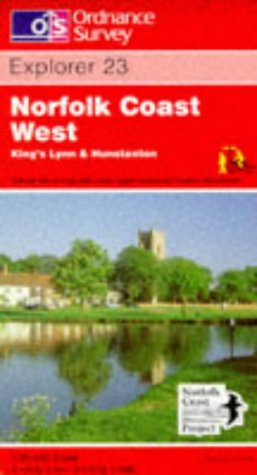
Norfolk Coast West - King's Lynn and Hunstanton: Sheet 23 (Explorer Maps)
Published by Ordnance Survey, United Kingdom, Hants
ISBN 10: 0319217256ISBN 13: 9780319217252
Book
Paperback. Condition: Good. This map is part of the Ordnance Survey's Explorer series designed to replace the old Pathfinder map series. At 1:25,000 scale this detailed map shows a host of attractions including gardens which are open to the public, nature reserves and country parks as well as all official footpaths, bridleways, roads and lanes. Other facilities covered include: camping and caravan sites, picnic areas and viewpoints, selected places of interest, rights of way information for England and Wales, National Trail and Recreational Path routes, and selected tourist information. The main advantages of this map are the geographical design of the sheetlines to capture the best local coverage, and the coverage of a larger area for value for money. The series is aimed mainly at the experienced map user but can be used by tourists and locals alike. The book has been read but remains in clean condition. All pages are intact and the cover is intact. Some minor wear to the spine.
-
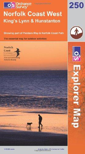
Norfolk Coast West (OS Explorer Map): Sheet 250
Published by Ordnance Survey, 2008
ISBN 10: 0319240363ISBN 13: 9780319240366
Book
Condition: VeryGood. Most items will be dispatched the same or the next working day.
-

Norfolk Coast West (OS Explorer Map Active): Sheet 250
Published by Ordnance Survey, 2008
ISBN 10: 0319467244ISBN 13: 9780319467244
Book
Paperback. Condition: Very Good. The book has been read, but is in excellent condition. Pages are intact and not marred by notes or highlighting. The spine remains undamaged.
-
![Seller image for Ordnance Survey sheet 68 [Wells, Blakeney, Cley, Holkham, Small portion of coast line north of Cromer, New Walsingham, Fakenham, Holt, Foulsham, Cromer, Aylsham, North Walsham - Central North Norfolk, North Norfolk Coast, North West Norfolk, North East Norfolk and Flegg, Mid Norfolk] for sale by Antiqua Print Gallery](https://pictures.abebooks.com/inventory/md/md31583238489.jpg)
Condition: Good. OS #68 North Norfolk Coast. Cromer Wells Blakeney Holt Fakenham Aylsham 1838 map. Antique folding survey map, dissected and laid down on linen; Engraved at the Ordnance Map Office, Tower of London. Outline by E. George. Writing by E. George. Hills by L. D'Elboux. Published by Thomas Frederick Colby. (1838). 65.0 x 97.0cm, 25.5 x 38.25 inches; this is a folding map. Condition: Good. There is nothing printed on the reverse side, which is plain. The genesis of the Ordnance Survey's original one-inch per mile survey occurred in 1783 when the Royal Societies of Paris and London agreed to connect their two great cities by the use of triangulation to settle the dispute of their relative positions. This triangulation, completed by 1790, together with the outbreak of war with France in 1793, acted as a catalyst for the surveying of England. The survey began in Kent and by the end of the Napoleonic Wars in 1815 most of southern England had been mapped. By 1844, publication of the Old Series, one inch to one mile, was complete for the whole of Great Britain south of Preston and Hull. In spite of concerns about the cost of the survey, work continued until by 1870 the whole of England and Wales had been mapped.