
Order Total (1 Item Items):
Shipping Destination:

9781841514314 - Stockport South 1907: Cheshire Sheet 19 03 Old O S Maps of Cheshire (2 results)
Skip to main search results
Product Type
- All Product Types
- Books (1)
- Magazines & Periodicals
- Comics
- Sheet Music
- Art, Prints & Posters
- Photographs
- Maps (1)
-
Manuscripts &
Paper Collectibles
Condition
Binding
- All Bindings
- Hardcover
- Softcover (1)
Collectible Attributes
- First Edition
- Signed
- Dust Jacket
- Seller-Supplied Images
- Not Printed On Demand
Seller Location
Seller Rating
-
Stockport (South) 1907: Cheshire Sheet 19.03 (Old O.S. Maps of Cheshire)
Published by Alan Godfrey Maps, 2002
ISBN 10: 1841514314ISBN 13: 9781841514314
Book
Paperback. Condition: Very Good. The book has been read, but is in excellent condition. Pages are intact and not marred by notes or highlighting. The spine remains undamaged.
-
Stockport (South) 1907: Cheshire Sheet 19.03 (Old O.S. Maps of Cheshire)
Published by Alan Godfrey Maps, 2002
ISBN 10: 1841514314ISBN 13: 9781841514314
Map
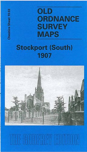
No Binding. Condition: New. No Jacket. Here are the details of maps for Stockport (South): Cheshire Sheet 19.03 Stockport (South) 1907 - published 2002; intro by Chris Makepeace. ISBN.978-1-84151-431-4 This detailed and busy map covers the southern part of Stockport, including Heaviley, Cale Green, Shaw Heath and much of Edgeley Ward. Coverage stretches from St Thomas Place southward to Davenport station, and from Heaviley House westward to Edgeley Mount. Features include railways including Edgeley Junction, Davenport Junction, Cheadle Village Junction, Davenport station; football ground, Workhouse, St Matthew's church, Edgeley Bleach Works, Edgeley Park, tramways, Bridge Hall, Bamford Grange, Davenport Terra Cotta Works, Cale Green Park, Heaviley Mill, cemetery, Brookfield Brewery, Wellington Road South, Brookfield House, many streets of terraced houses, etc. On the reverse we include a small selection of street directory entries, incl Buckingham Street, Buxton Road, Cambridge Street, Devonshire Road, Edgeley Road, Shawcross Street. The map links up with Cheshire sheets 10.15 Stockport to the north, 19.02 Cheadle to the west, 19.04 Offerton to the east, 19.07 Bramhall Grange to the south.