
Order Total (1 Item Items):
Shipping Destination:

9780907554820 - South Shields 1895: Tyneside Sheet 9 Old Ordnance Survey Maps of Tyneside by Young, Roy (1 results)
Skip to main search results
Product Type
- All Product Types
- Books
- Magazines & Periodicals
- Comics
- Sheet Music
- Art, Prints & Posters
- Photographs
- Maps (1)
-
Manuscripts &
Paper Collectibles
Condition
- All Conditions
- New
- Used
Binding
- All Bindings
- Hardcover
- Softcover
Collectible Attributes
- First Edition
- Signed
- Dust Jacket
- Seller-Supplied Images
- Not Printed On Demand
Seller Location
Seller Rating
-
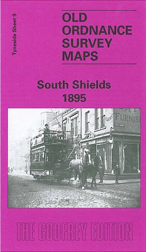
South Shields 1895: Tyneside Sheet 9
Published by Alan Godfrey Maps, 1984
ISBN 10: 0907554822ISBN 13: 9780907554820
Map
No Binding. Condition: New. No Jacket. Here are the details of maps for South Shields: Tyneside Sheet 9a South Shields 1895 - published 1982, 2nd Ed 2008; intro by Roy Young. ISBN.978-0-907554-82-0 Tyneside Sheet 9b South Shields 1913 - published 2015; intro by Anthea Lang. ISBN.978-1-84784-909-0 We have published two versions of this busy map, showing how the area changed across the years. The maps cover the heart of South Shields, with coverage stretching from Ocean Road southward to Dean Lane, and from West Holborn eastward to Sea Road. The many features include railway with High Shields and South Shields stations, Holy Trinity church, Laygate, St Jude's church, St Hilda Colliery, St Hilda Colliery Wagonway, Mill Dam Valley, Holborn Graving Dock, St Hilda's church, landing stage, South Shields Marsden & Whitburn Colliery Railway, other mineral railways, St Michael & All Angels church, part of Westoe along Dean Lane, King Street, Market Place, tramways, Westoe Brewery, Mariners Cottages, Bent House, Westoe Lane station, Glass Works etc. This map links up with Tyneside Sheet 3 Mouth of the Tyne to the north, Tyneside Sheet 8 Percy Main to the west,and Tyneside Sheet 16 Harton to the south.