
Order Total (1 Item Items):
Shipping Destination:

9780850542264 - Central Liverpool 1906: Lancashire Sheet 106 14 Old O S Maps of Lancashire by Parrott, Kay (15 results)
Skip to main search results
Product Type
- All Product Types
- Books (12)
- Magazines & Periodicals
- Comics
- Sheet Music
- Art, Prints & Posters
- Photographs
- Maps (3)
-
Manuscripts &
Paper Collectibles
Condition
Binding
Collectible Attributes
- First Edition
- Signed
- Dust Jacket
- Seller-Supplied Images (3)
- Not Printed On Demand
Free Shipping
Seller Location
Seller Rating
-
![Stock image for Central Liverpool 1906: Lancashire Sheet 106.14 (Old O.S. Maps of Lancashire) [No Binding ] for sale by booksXpress](https://pictures.abebooks.com/isbn/9780850542264-us-300.jpg)
Central Liverpool 1906: Lancashire Sheet 106.14 (Old O.S. Maps of Lancashire) [No Binding ]
Published by Alan Godfrey Maps, 1989
ISBN 10: 085054226XISBN 13: 9780850542264
Book
No Binding. Condition: new.
-
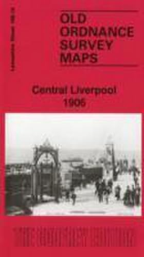
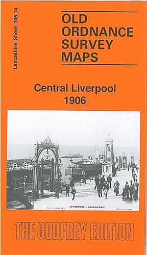
Central Liverpool 1906
Published by Alan Godfrey Maps 1989-06-01, 1989
ISBN 10: 085054226XISBN 13: 9780850542264
Book
hardback. Condition: New. Language: ENG.
-
Central Liverpool 1906 Lancashire Sheet 10614 Old OS Maps of Lancashire
Published by Alan Godfrey Maps, 1989
ISBN 10: 085054226XISBN 13: 9780850542264
Book
PAP. Condition: New. New Book. Shipped from UK. Established seller since 2000.
-
Central Liverpool
Published by Alan Godfrey Maps, 1989
ISBN 10: 085054226XISBN 13: 9780850542264
Map
Map. Condition: Brand New. facsimile of 1906 ed edition. 8.46x4.92x0.16 inches. In Stock.
-
Central Liverpool 1906: Lancashire Sheet 106.14 (Old O.S. Maps of Lancashire)
Published by Alan Godfrey Maps, United Kingdom, Co Durham, 1989
ISBN 10: 085054226XISBN 13: 9780850542264
Book
Paperback. Condition: Very Good. The book has been read, but is in excellent condition. Pages are intact and not marred by notes or highlighting. The spine remains undamaged.
-
Central Liverpool 1906: Lancashire Sheet 106.14 (Old O.S. Maps of Lancashire)
Published by Alan Godfrey Maps, 1989
ISBN 10: 085054226XISBN 13: 9780850542264
Book
Map. Condition: New. BRAND NEW ** SUPER FAST SHIPPING FROM UK WAREHOUSE ** 30 DAY MONEY BACK GUARANTEE.
-
Central Liverpool 1906: Lancashire Sheet 106.14
Published by Alan Godfrey Maps, 1989
ISBN 10: 085054226XISBN 13: 9780850542264
Book
Sheet map, folded. Condition: New. New copy - Usually dispatched within 4 working days.
-
Central Liverpool 1906: Lancashire Sheet 106.14 (Old O.S. Maps of Lancashire)
Published by Alan Godfrey Maps, 1989
ISBN 10: 085054226XISBN 13: 9780850542264
Book
Condition: New. In.
-
Central Liverpool
Published by Alan Godfrey Maps, 1989
ISBN 10: 085054226XISBN 13: 9780850542264
Map
Map. Condition: Brand New. facsimile of 1906 ed edition. In Stock.
-
Central Liverpool 1906: Lancashire Sheet 106.14 (Old O.S. Maps of Lancashire)
Published by Alan Godfrey Maps, Great Britain, 1989
ISBN 10: 085054226XISBN 13: 9780850542264
Book
Condition: Very Good. Old Ordannce Survey Maps Central Liverpool 1906: Lancashire Sheet 106.14 (Old O.S. Maps of Lancashire).
-
Central Liverpool 1906 Lancashire Sheet 10614 Old OS Maps of Lancashire
Published by Alan Godfrey Maps, 1989
ISBN 10: 085054226XISBN 13: 9780850542264
Book
PAP. Condition: New. New Book. Shipped from UK. Established seller since 2000.
-
Central Liverpool 1906 : Lancashire Sheet 106.14
Published by Alan Godfrey Maps Jun 1989, 1989
ISBN 10: 085054226XISBN 13: 9780850542264
Book
Karte. Condition: Neu. Neuware Deutsch.
-
Central Liverpool 1906: Lancashire Sheet 106.14 (Old O.S. Maps of Lancashire)
Published by Alan Godfrey Maps, 1989
ISBN 10: 085054226XISBN 13: 9780850542264
Map
No Binding. Condition: New. No Jacket. Here are the details of maps for central Liverpool: Lancashire Sheet 106.14a Central Liverpool 1890 - published 2011; intro by Kay Parrott. ISBN.978-1-84784-513-9 Lancashire Sheet 106.14b Central Liverpool 1906 - published 1989; intro by Kay Parrott. ISBN.978-0-85054-226-4 We have published two versions of this important map, showing how the area changed across the years. The 1890 version is in colour. The maps cover the heart of Liverpool, with coverage stretching from Albert Dock and the Pierhead eastward to Abercromby Square, and from St George's Hall southward to Upper Parliament Street. It is a very busy map and the many features include Lime Street station, Central station, Anglican Cathedral (half built on 1906 map), tramways, Philharmonic Hall, St Luke's church, Duke Street, St John's Market, Wapping Goods station; Overhead Railway with Pierhead, Customs House and Wapping Dock stations; Albert Dock, King's Dock, Wapping Dock, Salthouse Dock, Canning Dock, Manchester Dock, Dock Office, Canning Graving Docks, Town Hall, St Nicholas church, Custom House, Lord Street, etc. We include a small selection of street directory entries on the reverse of each map. This map links up with sheet 106.10 Liverpool North to the north, 106.15 Edge Hill to the east and 113.02 Toxteth to the south.
-
Central Liverpool 1906 (Folded)
Published by Alan Godfrey Maps, Co Durham, 1989
ISBN 10: 085054226XISBN 13: 9780850542264
Book
Folded. Condition: new. Folded. Shipping may be from our UK warehouse or from our Australian or US warehouses, depending on stock availability.
-
Parrott, K: Central Liverpool 1906
Published by Alan Godfrey Maps, 1989
ISBN 10: 085054226XISBN 13: 9780850542264
Book
Condition: New.