Bristol (Downend) 1902: Gloucestershire Sheet 72.07 (Old Ordnance Survey Maps of Gloucestershire)

Buy New
Learn more about this copy
US$ 3.61
Shipping:
US$ 38.79
From United Kingdom to U.S.A.
Top Search Results from the AbeBooks Marketplace
Stock Image
Bristol (Downend) 1902: Gloucestershire Sheet 72.07 (Old Ordnance Survey Maps of Gloucestershire)
Seller:
Rating
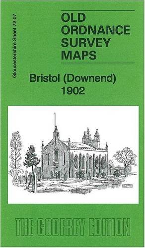
Book Description No Binding. Condition: New. No Jacket. Here are the details of maps for Bristol Downend: Gloucestershire Sheet 72.07 Bristol (Downend) 1902 - published 2013; intro by Mike Bone. ISBN.978-1-84784-740-9 This detailed map covers the village of Downend, NE of Bristol, with a portion of Mangotsfield in the SE corner. Features include village centre with individual buildings neatly shown, Cleve Lodge, Clevehill, Clevehill Farm, Horseshoe pub, Christ Church, Overnhill House, Overndale, small portion of Frenchay, Stockwell Hill, Windsor Place, Crown pub, St James Street area of Mangotsfield. An 1894 directory of Downend is included on the reverse. The map links up with sheets 72.06 Frenchay to the west, 72.11 Staple Hill to the south. Seller Inventory # 001031
Buy New
US$ 3.61
Convert currency