Keynsham 1902: Gloucestershire Sheet 76.11 (Old Ordnance Survey Maps of Gloucestershire)

Buy New
Learn more about this copy
US$ 3.61
Shipping:
US$ 38.79
From United Kingdom to U.S.A.
Top Search Results from the AbeBooks Marketplace
Stock Image
Keynsham 1902: Gloucestershire Sheet 76.11 (Old Ordnance Survey Maps of Gloucestershire)
Seller:
Rating
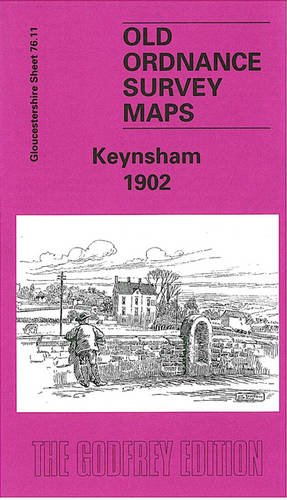
Book Description No Binding. Condition: New. No Jacket. Here are the details of maps for Keynsham: Gloucestershire Sheet 76.11 Keynsham 1902 - published 2003; intro by Mike Bone. ISBN.978-1-84151-544-1 This map covers the Somerset town of Keynsham. The map includes portions of both Somerset and Gloucestershire. We have chosen to work from the Gloucestershire series because the sheetlines are better. Most of the town is shown in detail, with coverage extending NW to Durleypark. Features on the map include the GWR with station, The Park, St John the Baptist church, Dragonshill Quarry, Fairfield Terrace, Temple Street, High Street, Albert Road (at foot of map), Color Works, Keynsham Bridge, Newnham Nursery, Durleyhill House, Lamb & Lark Hotel, abbey remains. We include a directory of Keynsham in 1902 on the reverse. Seller Inventory # 007900
Buy New
US$ 3.61
Convert currency