Ealing 1913: London Sheet 53.3 (Old Ordnance Survey Maps of London)

Buy New
Learn more about this copy
US$ 3.55
Shipping:
US$ 38.18
From United Kingdom to U.S.A.
Top Search Results from the AbeBooks Marketplace
Stock Image
MAP OF EALING 1913 LONDON SHEET 56.3
Seller:
Rating
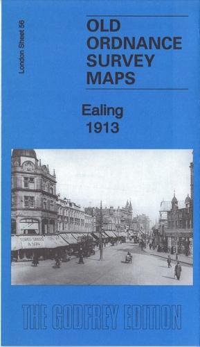
Book Description No Binding. Condition: New. No Jacket. Here are the details of maps for Ealing: London Sheet 56.2 Ealing 1894 - published 1991; intro by Peter Hounsell. ISBN.978-0-85054-404-6 London Sheet 56.3 Ealing 1913 - published 2017; intro by Alan Godfrey. ISBN.978-1-78721-057-8 London Sheet 56.4 Ealing 1934 - published 2008; intro by Peter Hounsell. ISBN.978-1-84784-095-0 We have published three versions of this map, showing how the area changed across the years. Each covers the same area, which is an area of a mile by a mile and a half, stretching from Eccleston Road eastward to Ealing Broadway and Windsor Road; from Cleveland Road and Castle Bar southward to Grange Road and Churchfield Road. The map covers central and west Ealing. Features include Ealing Broadway station, Castle Hill & Ealing Dean station, Haven Green, Drayton Green, cemetery, Central London District School. Churches include St Stephen's, St John's Mattock Lane, Christ Church. Streets include The Avenue, Uxbridge Road, High Street, Eaton Rise, Argyle Road etc. The map links up with Sheet 45 Perivale to the north, Sheet 55 Hanwell to the west, Sheet 57 Ealing Common to the east and 70 South Ealing to the south. Seller Inventory # 004368
Buy New
US$ 3.55
Convert currency