The Cruising Guide to the New York State Canal System - Softcover
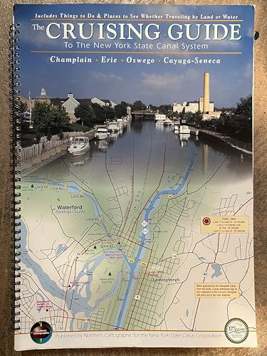

By Jed and Page Guertin on July 12, 2000 If you are thinking of a cruise on the Erie Canal, Champlain Canal, Oswego or Cayuga-Seneca Canals in New York State this year or in the future? We think that you should take a close look at The Cruising Guide to the New York State Canal System guide/chart book published by Northern Cartographic for the New York State Canal Corp. In the summer of 1997 my wife and I circumnavigated the Adirondacks (Lake Champlain, Champlain Canal, Erie Canal, Oswego Canal, Lake Ontario, St. Lawrence River, Richelieu River, and back to Lake Champlain). We both wish that this new chart/guide book had been available then - it would have been the perfect companion for the NY canal system. This is a true chart/map product. The mapping detail is excellent. Road layout for major highways as well as local streets is precise. All major roads are labeled, and secondary roads as well as city, town, and village streets are clearly defined if not labeled. In addition to the usual waterway information, the guide has restaurants, parks, historic sites, the canal way trails, and other points of interest are shown with the same level of geographic accuracy. This detail extends up to three miles from the canal. The legends, information boxes, and tables are clear and easy to read, and well organized. The size is a very convenient 11 by 15 3/4 inches. The paper quality and color printing are excellent. We think that the New York State Canal Corporation has done itself proud on this guide. We do feel that the binder could be improved and a waterproof front and back page would be a welcome addition. If this product was available in 1997 we'd still be on the canal. ( Amazon customer review)
"synopsis" may belong to another edition of this title.
- PublisherNorthern Cartographic
- Publication date2000
- ISBN 10 0944187471
- ISBN 13 9780944187470
- BindingSpiral-bound
- Edition number1
Top Search Results from the AbeBooks Marketplace

Stock Image
The Cruising Guide to the New York State Canal System
Published by
Northern Cartographic
(2000)
ISBN 10: 0944187471
ISBN 13: 9780944187470
Used
spiral_bound
Quantity: 1
Seller:
Rating
Book Description spiral_bound. Condition: Fair. 2003 edition. PULL-OUT MAP OF THE HUDSON RIVER IS MISSING. Spiral binding, 179 pages. Variable moderate water ripping at top and bottom of page edges; all pages free and usable. Gentle wear and tear. Notation inside back cover; no other markings noted. Seller Inventory # 78490spz
Buy Used
US$ 35.00
Convert currency