Waterloo and Southwark 1872: London Sheet 076.1 (Old O.S. Maps of London)

Buy New
Learn more about this copy
US$ 41.64
Shipping:
FREE
Within U.S.A.
Top Search Results from the AbeBooks Marketplace
Stock Image
Waterloo and Southwark 1872: London Sheet 076.1 (Old O.S. Maps of London)
Seller:
Rating
Book Description Condition: New. Book is in NEW condition. 0.22. Seller Inventory # 0907554997-2-1
Buy New
US$ 41.64
Convert currency
Stock Image
Waterloo and Southwark 1872: London Sheet 076.1 (Old O.S. Maps of London)
Seller:
Rating
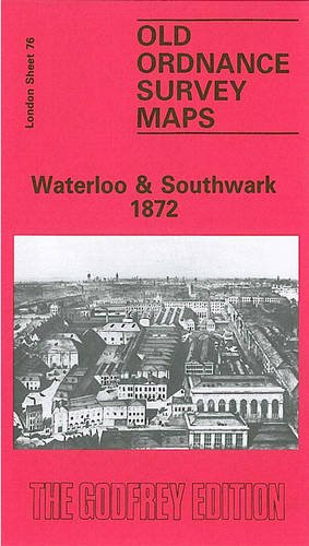
Book Description No Binding. Condition: New. No Jacket. Here are the details of maps for the Waterloo area: London Sheet 76.1 Waterloo & Southwark 1872 - published 1985; intro by Stephen Humphrey. ISBN.978-0-907554-99-8 London Sheet 76.2 Waterloo & Southwark 1894 - published 2000; intro by Alan Godfrey. ISBN.978-1-84151-185-6 London Sheet 76.3 Waterloo & Southwark 1914 - published 1992; intro by Alan Godfrey. ISBN.978-0-85054-523-4 We have published three versions of this map, showing how the area developed across the years. The maps each cover the same area, which includes the Waterloo area, much of Lambeth and Southwark, and the area we now know as the South Bank. Coverage stretches from Waterloo Bridge eastward to Borough High Street, and from Waterloo Bridge southward to Lambeth Palace and Elephant & Castle. A small stretch of Westminster is also here, including the Houses of Parliament and New Scotland Yard. Other features on these very busy maps include Lambeth Bridge, Hungerford Bridge; Charing Cross, Waterloo, Necropolis and Elephant & Castle stations, with many junctions and sidings; St Thomas's Hospital, Bethlem Hospital, Southwark %RC Cathedral, Metropolitan Tabernacle, St George's Circus, Anchor Brewery, and countless factories, wharves, streets, prisons etc. The map links up with London Sheets 62 Holborn to the north, 75 Westminster to the west, 77 Bermondsey to the east, and 89 Kennington to the south. Seller Inventory # 005318
Buy New
US$ 3.54
Convert currency