Sedgley West 1900: Staffordshire Sheet 67.06 (Old O.S. Maps of Staffordshire)

Buy New
Learn more about this copy
US$ 4.94
Shipping:
US$ 39.01
From United Kingdom to U.S.A.
Top Search Results from the AbeBooks Marketplace
Stock Image
Sedgley West 1900: Staffordshire Sheet 67.06 (Old O.S. Maps of Staffordshire) O/S
Seller:
Rating
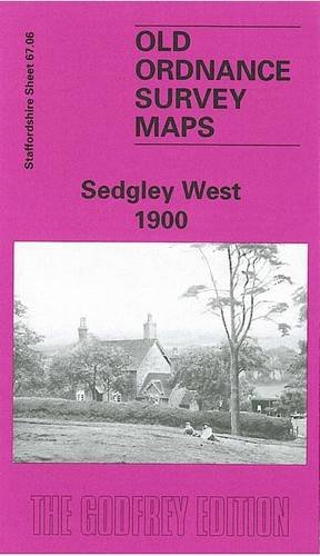
Book Description No Binding. Condition: New. Here are the details of maps for Sedgley (W): Staffs Sheet 67.06a Sedgley (West) 1900 - published 1997; intro by Angus Dunphy.ISBN.978-0-85054-902-7 Staffs Sheet 67.06b Sedgley (West) 1938 - published 2014; intro by Malcolm Nixon.ISBN.978-1-84784-848-2 We have published two versions of this map, showing how the area changed across the years. Each covers the area from Gospel End eastward to Cotwall End. Features include Sandyfields, Whites Wood, Gospel End, Netherby House, Cotwallend House, Baggeridge Colliery, Askew Bridge Branch. The map links up with Staffordshire sheets 67.02 Penn Common to the north, 67.05 Wombourne to the west, 67.07 Sedgley SE to the east, 67.10 Gornalwood to the south. Seller Inventory # 000031
Buy New
US$ 4.94
Convert currency