Holland Park and Shepherds Bush 1913: London Sheet 073.3 (Old Ordnance Survey Maps of London)

Buy New
Learn more about this copy
US$ 3.54
Shipping:
US$ 38.13
From United Kingdom to U.S.A.
Top Search Results from the AbeBooks Marketplace
Stock Image
Holland Park and Shepherds Bush 1913: London Sheet 073.3 (Old Ordnance Survey Maps of London)
Seller:
Rating
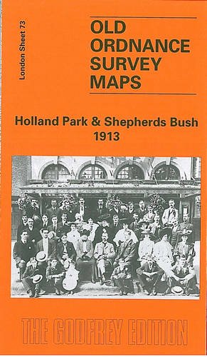
Book Description No Binding. Condition: New. No Jacket. Here are the details of maps for Kensington (W) & Shepherds Bush: London Sheet 73.1 Holland Park & Shepherds Bush 1871 - published 1989; intro by Brian Curle & Pamela Taylor. ISBN.978-0-85054-214-1 London Sheet 73.2 Holland Park & Shepherds Bush 1894 - published 1983, 2nd Edition 1997; intro by Pamela Taylor. ISBN.978-0-85054-917-1 London Sheet 73.3 Holland Park & Shepherds Bush 1913 - published 1996; intro by Pamela Taylor. ISBN.978-0-85054-824-2 We have published three versions of this map, showing how the area developed across the years. The maps each cover the same area, stretching from Iffley Road, Hammersmith eastward to Phillimore Gardens, Kensington; and from Royal Crescent and the Uxbridge Road southward to Pembroke Road. The many features include Olympia, Holland Park, Holland House, Shepherds Bush Common, Brook Green, part of Kensington High Street, Shepherds Bush Road, Addison Road. Several railways cross the map and stations include Uxbridge Road and Addison Road (later Kensington Olympia) on the West London Railway; Shepherds Bush, Goldhawk Road and Hammersmith on the Hammersmith & City; Shepherds Bush and Hammersmith on the LSWR Kensington & Richmond line. The map links up with London Sheets 59 Notting Hill to the north, 72 North Hammersmith to the west, 74 Kensington to the east, 86 Hammersmith & Fulham to the south. Seller Inventory # 004406
Buy New
US$ 3.54
Convert currency