Upper Penn 1901: Staffordshire Sheet 62.14 (Old O.S. Maps of Staffordshire)

Buy New
Learn more about this copy
US$ 4.94
Shipping:
US$ 39.01
From United Kingdom to U.S.A.
Top Search Results from the AbeBooks Marketplace
Stock Image
Upper Penn 1901: Staffordshire Sheet 62.14
Seller:
Rating
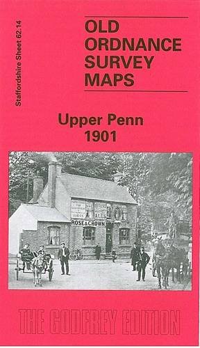
Book Description No Binding. Condition: New. Here are details of the map for Upper Penn: Staffordshire Sheet 62.14 Upper Penn 1901 - published 1996; intro by Angus Dunphy. ISBN.978-0-85054-815-0 This detailed map covers the southern part of Wolverhampton around Goldthorn Hill, with coverage extending southward to Sedgley Park and SW to Upper Penn. Features include St Philip's church, Coalway Farm, Upper Penn village, Muchall Hall, Muchall Grove, Manor House, Penn Court, Colton Hills, Penn Brick Works, Muchall Farm, Goldthorn Hill area, Penn Fields area, reservoirs, Goldthorn House, Sedgley Park Farm. On the reverse we include directories for Penn and Penn Fields, with street directory entries for Chequer Street, Coalway Lane, Eagle Street and Penn Road. The map links up with Staffordshire sheets 62.10 Wolverhampton SW to the north, 62.15 Ettingshall to the east, 67.02 Penn Common to the south. Seller Inventory # 000002
Buy New
US$ 4.94
Convert currency