Upper Holloway 1894: London Sheet 029.2 (Old Ordnance Survey Maps of London) - Softcover

- PublisherAlan Godfrey Maps
- Publication date1995
- ISBN 10 0850547644
- ISBN 13 9780850547641
- BindingPaperback
Buy New
Learn more about this copy
US$ 3.56
Shipping:
US$ 38.32
From United Kingdom to U.S.A.
Top Search Results from the AbeBooks Marketplace
Stock Image
Upper Holloway 1894: London Sheet 029.2 (Old Ordnance Survey Maps of London)
Published by
Alan Godfrey Maps
(1995)
ISBN 10: 0850547644
ISBN 13: 9780850547641
New
Soft cover
Quantity: 1
Seller:
Rating
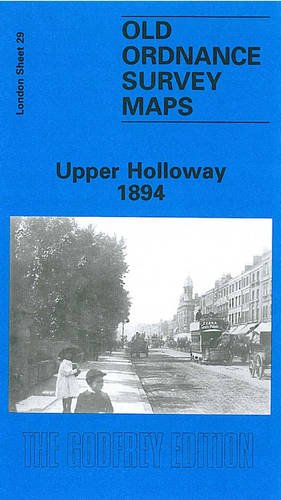
Book Description Soft cover. Condition: New. No Jacket. Here are the details of maps for Holloway: London 29.1 Upper Holloway 1869 - published 1999; intro by David Mander. ISBN.978-1-84151-100-9 London 29.2 Upper Holloway 1894 - published 1995; intro by David Mander. ISBN.978-0-85054-764-1 London 29.3 Upper Holloway 1914 - published 1986; intro by Jim Connell. ISBN.978-0-85054-138-0 London 29.4 Holloway & Highbury 1937 - published 2019; intro by Pamela Taylor. ISBN.978-1-78721-270-1 We have published four versions of this map, showing how the area developed across the years. The maps each cover the same area, stretching from Holloway Prison eastward to Green Lanes and Highbury New Park, and from Finsbury Park station southward to Aberdeen Park and Holloway station. The GNR main line runs north-south through the map, with many sidings, and part of the Canonbury Branch; Finsbury Park and Holloway stations are included, and the 1914 map has Drayton Park station. Railway information is detailed, with tracks, signal posts, air shafts etc. West of the railway is much of Holloway, including Holloway Road, the prison (left blank), Seven Sisters Road, Hornsey Road, St Mary's Workhouse Schools, West London Union Workhouse. East of the railway is part of Highbury around Highbury House and Highbury Park, while north of this is a detached part of Hornsey, South Hornsey, incl Brownswood Park; the 1869 map has part of the New River here. Gillespie Road and Arsenal football ground are on the later maps. Each map includes a specially written introduction to the history of the area. The map links up with London Sheets 20 Finsbury Park to the north, 28 Gospel Oak to the west, 30 Stoke Newington to the east, 39 Highbury to the south. Seller Inventory # 004306
Buy New
US$ 3.56
Convert currency