Clerkenwell, Kings Cross and the Angel 1871: London Sheet 050.1 (Old Ordnance Survey Maps of London)

Buy New
Learn more about this copy
US$ 42.68
Shipping:
FREE
Within U.S.A.
Top Search Results from the AbeBooks Marketplace
Stock Image
Clerkenwell, Kings Cross and the Angel 1871: London Sheet 050.1 (Old Ordnance Survey Maps of London)
Seller:
Rating
Book Description Condition: New. Buy with confidence! Book is in new, never-used condition. Seller Inventory # bk085054436Xxvz189zvxnew
Buy New
US$ 42.68
Convert currency
Stock Image
Clerkenwell, Kings Cross and the Angel 1871: London Sheet 050.1
Seller:
Rating
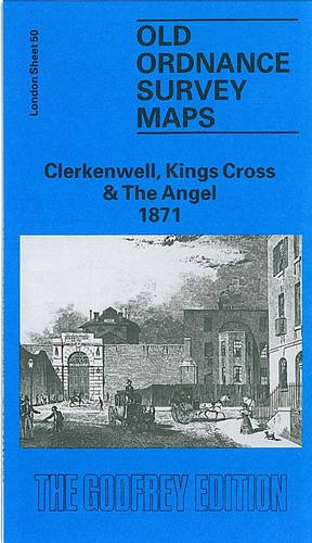
Book Description No Binding. Condition: New. No Jacket. Here are the details of maps for Clerkenwell: London Sheet 50.1 Clerkenwell, King's Cross & The Angel 1871 - published 1991; intro by Alan Godfrey. ISBN.978-0-85054-436-7 London Sheet 50.2 Clerkenwell, King's Cross & The Angel 1894 - published 1994; intro by Alan Godfrey. ISBN.978-0-85054-701-6 London Sheet 50.3 Clerkenwell, King's Cross & The Angel 1914 - published 1985, 2nd Edition 1994; intro by Isobel Watson. ISBN.978-0-85054-642-2 These maps cover a busy and fascinating area. The three versions each cover the same area, stretching from Judd Street and King's Cross station eastward to Shepherdess Walk and Arlington Square; from the Regents Canal and Islington Green southward to Brunswick Square and Clerkenwell Road. The many features include Kings Cross station itself, part of St Pancras station (but not its approaches), the Foundling Hospital, Mount Pleasant Post Office, Clerkenwell and New River Head, Farringdon Street, Royal Agricultural Hall, Regents Canal, Wenlock Basin, City Road Basin, much of Finsbury. The countless streets include Pentonville Road, City Road, Percy Circus, part of Old Street, Upper Street, Clerkenwell Green, Roseberry Avenue, Northampton Square, Guilford Street, part of Grays Inn Road and many more. The map links up with Sheets 39 Highbury to the north, 49 Euston to the west, 51 Shoreditch to the east, 62 Holborn to the south. Seller Inventory # 006282
Buy New
US$ 4.53
Convert currency