Lower Clapton 1913: London Sheet 031.3 (Old Ordnance Survey Maps of London)

Buy New
Learn more about this copy
US$ 3.63
Shipping:
US$ 39.01
From United Kingdom to U.S.A.
Top Search Results from the AbeBooks Marketplace
Stock Image
Lower Clapton 1913: London Sheet 031.3
Seller:
Rating
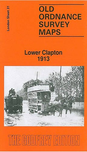
Book Description No Binding. Condition: New. No Jacket. Here are the details of maps for Lower Clapton: London Sheet 31.1 Lower Clapton 1868 - published 1985; intro by Jon Newman & Richard Oliver. ISBN.978-0-85054-090-1 London Sheet 31.2 Lower Clapton 1894 - published 1985; intro by Jon Newman. ISBN.978-0-85054-001-7 London Sheet 31.3 Lower Clapton 1913 - published 1988; intro by David Mander. ISBN.978-0-85054-196-0 We have published three versions of this map, showing how the area developed across the years. Indeed, the idea of reprinting the three editions of each map over much of London came from Hackney Archives, and from their then archivist David Mander. The maps each cover the same area, stretching from Clarence Road and Lower Clapton Road eastward to Hackney Marsh and Leyton Marshes, with the northern part of Templemills Siding; and from Clifden Road northward to Mountpleasant Lane. The Hackney Cut Navigation runs through the map, with the River Lea winding nearby. The 1868 map also includes notes on the Ordnance Survey by Richard Oliver. Each map includes extracts from early directories, those for the 1913 map covering Chatsworth Road, Lesbia Road, Lower Clapton Road, Millfields Road, Middlesex Wharf and Mandeville Street. Features include Lea Bridge, Lower Clapton, Clapton Park, Lea Bridge Pumping Station, London Orphan Asylum (later Congress Hall), Lea Dock. The map links up with London Sheets 22 Walthamstow Marsh to the north, 30 Stoke Newington to the west, 32 Leyton to the east, 41 Hackney to the south. Seller Inventory # 004313
Buy New
US$ 3.63
Convert currency